Places · Haute-Savoie, France
CHAMONIX-MONT-BLANC
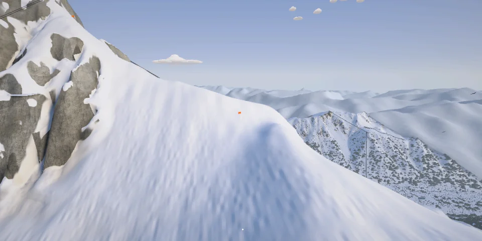
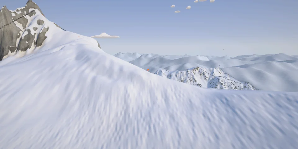
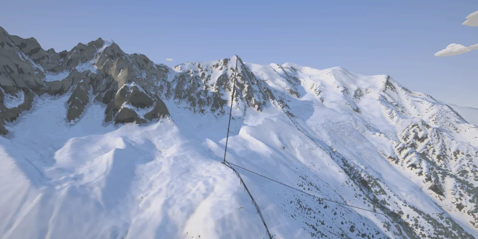
The Vallée Blanche, the Midi's north faces and Mont Blanc
The place
The Vallée Blanche starts at the top of the Aiguille du Midi's cable car, the world's highest when it opened in 1955: about 20 km of glacier, the Géant and the Mer de Glace, down to Montenvers and its railway. None of it is prepared or patrolled. Over it all is Mont Blanc, the highest summit in the Alps.
Off-piste Nothing off the Midi is prepared or patrolled: glaciers, crevasses and seracs, your own risk.
- 17lines to start
The lines
Every line here, with how hard it is.
-
The Vallée Blanche
■■■■■The classic way down from the Midi, off the foot of the arête: the Col du Midi, the Géant glacier past the Gros Rognon and the Requin, then the Mer de Glace to the gondola under Montenvers.
-
La Vraie Vallée Blanche
■■■■■The Vallée Blanche's steeper start: crevassed slopes on the north side of the Gros Rognon, then the classic and the Mer de Glace to the gondola.
-
The Grand Envers du Plan
■■■■■From the foot of the arête east under the Aiguille du Plan, through the seracs of the Envers du Plan to the Requin, then the Mer de Glace to the gondola.
-
The Petit Envers du Plan
■■■■■The gentler Envers du Plan: moderate slopes beside the seracs down to the classic, then the Mer de Glace to the gondola.
-
Les Pentes du Rognon
■■■■■Down the slopes of the Gros Rognon, the most common variant, then the classic and the Mer de Glace to the gondola.
-
The Vallée Noire
■■■■■The quiet way, east of the classic: down the right bank of the Géant icefall to the Requin, then the Mer de Glace to the gondola.
-
The James Bond Track
■■■■■In a good winter, the way home from the Mer de Glace: from the Mottets, a 15–20 minute carry up from the glacier, through the forest to the Planards. 3.6 km and 460 m, much of it flat.
-
Mont Blanc by the Grands Mulets
■■■■■From the summit of the Alps: the north face, 35–40° for about 300 m, the Grand Plateau, past the Grands Mulets hut and down the Bossons glacier to the Plan de l'Aiguille. 11 km and 2,500 m.
-
Charles Bozon
■■■■■The Brévent's black run from the top of its cable car down to Planpraz, facing Mont Blanc across the valley.
-
The Hotel Face
■■■■■The Pentes de l'Hôtel, the Freeride World Tour's Chamonix face from its 2010 opener (some years it moved to La Flégère): 400 m of rock bands and couloirs off the ridge north of the Col du Brévent, straight down to Planpraz in full view of its terraces, with Mont Blanc across the valley.
-
The Col du Brévent Couloir
■■■■■The couloir off the south side of the Col du Brévent, next door to the Hotel face: 44° at its steepest, hanging over a blue piste, in full view of the Brévent's cable car.
-
Mont Blanc du Tacul
■■■■■The Tacul's north-west face, the normal route, from the shoulder under its summit to the Col du Midi: about 35°, with pitches of 40–45° past seracs and bergschrunds that move every year.
-
The Cosmiques Couloir
■■■■■From the col by the Cosmiques hut, west down the couloir to the Bossons glacier: about 45° for the first 100 m, then 40° for 600 m.
-
The Glacier Rond
■■■■■From the col by the Midi's station, north behind the Abri Simond, then down a couloir to the Bossons glacier: over 50° at the start, then 45°.
-
The Éperon Frendo
■■■■■Off the Midi arête and straight down the north face by the Frendo spur's line: about 1,000 m at 45–60°, then across the Pèlerins glacier to the Plan de l'Aiguille.
-
The Éperon Jumeau
■■■■■Down the Midi–Plan north face by the Jumeau spur, steep and broken by cliffs skiers rappel, then across the Pèlerins to the Plan de l'Aiguille.
-
The Col du Plan North Face
■■■■■From the Midi–Plan arête under the Col du Plan, down its north face: about 50°, with a cliff that takes a 60 m rappel, then the Pèlerins to the Plan de l'Aiguille.