The place
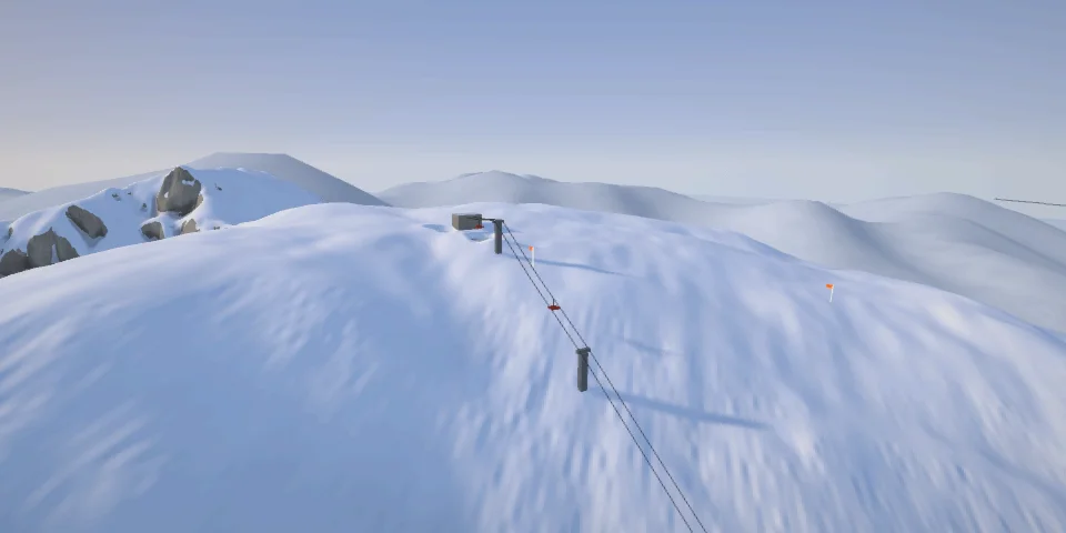
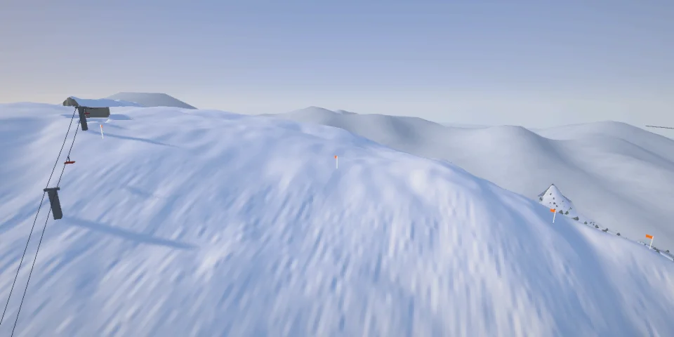
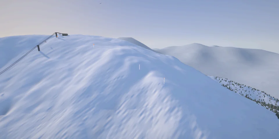
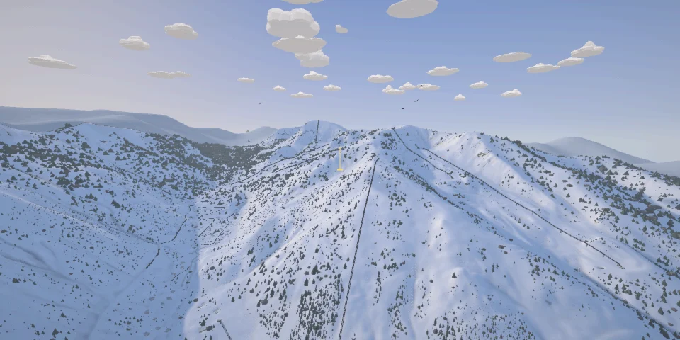
Ernie Blake's ski valley at the head of the Rio Hondo, opened in the 1950s: a north-facing bowl under Kachina Peak between two hike-to ridges, whose chutes he named for Mexico's heroes and for the Germans who plotted against Hitler. Al's Run drops straight down to the village under Lift 1.
Off-piste Inside the ski area boundary, avalanche-controlled in the season; past it nothing is controlled or patrolled: avalanche terrain, your own risk.
- 29lines to start
The lines
Every line here, with how hard it is.
-
Main Street
■■■■■Kachina Peak's summit face, straight down beside the Kachina Peak lift: about 1,100 ft of open, north-facing double black, called the mountain's easiest and often bumped out, with rocks close under the surface.
-
K5
■■■■■One of five narrow north chutes off the ridge that runs north-west from Kachina Peak's summit, reached by walking along it from the Kachina lift's top (or the hike up from Lift 4), ending on Main Street or at its foot by Lift 4's top.
-
K4
■■■■■One of five narrow north chutes off the ridge that runs north-west from Kachina Peak's summit, reached by walking along it from the Kachina lift's top (or the hike up from Lift 4), ending on Main Street or at its foot by Lift 4's top.
-
K3
■■■■■One of five narrow north chutes off the ridge that runs north-west from Kachina Peak's summit, reached by walking along it from the Kachina lift's top (or the hike up from Lift 4), ending on Main Street or at its foot by Lift 4's top.
-
K2
■■■■■One of five narrow north chutes off the ridge that runs north-west from Kachina Peak's summit, reached by walking along it from the Kachina lift's top (or the hike up from Lift 4), ending on Main Street or at its foot by Lift 4's top.
-
K1
■■■■■One of five narrow north chutes off the ridge that runs north-west from Kachina Peak's summit, reached by walking along it from the Kachina lift's top (or the hike up from Lift 4), ending on Main Street or at its foot by Lift 4's top.
-
Hunziker
■■■■■Ernie Blake's favourite run, which he said would never get a lift, named for Paul Hunziker, the Swiss engineer who designed the first Kachina lift and died in a plane crash on his way to inspect it.
-
Cabin Chute
■■■■■Off Kachina Peak's north-west ridge where it turns north toward Highline, east into the bowl around Lift 4's top.
-
Lift Shack Chute
■■■■■East off the ridge between Highline and Kachina Peak to Lift 4's top: a short pitch reached by more hiking along the ridge.
-
Twin Trees Chute
■■■■■East off Highline Ridge into the Kachina Basin, best early in the day: a tricky, rocky entrance, with closed slopes on either side on the trail map.
-
Tresckow
■■■■■Named for Henning von Tresckow, one of the officers who plotted to kill Hitler.
-
Corner Chute
■■■■■North-facing off Highline Ridge below the trail map's second gate, about ten minutes' walk past Juarez: a local favourite, narrow, with trees close on both sides.
-
Two Bucks
■■■■■North-east off the col on Highline Ridge between its high point and Kachina Peak, down to the Honeysuckle track.
-
Billy Sol
■■■■■A north-east chute off Highline Ridge between Niños Heroes and Two Bucks, down to the Honeysuckle track.
-
Niños Heroes
■■■■■For the young cadets who died defending Chapultepec Castle: a north-east chute off Highline Ridge and a local favourite.
-
Juarez
■■■■■For Benito Juárez: short and north-east-facing off Highline Ridge, below the trail map's gate.
-
Hidalgo
■■■■■For Miguel Hidalgo, the priest who died leading the 1810 independence rising: the first of Highline Ridge's chutes past the fork in the bootpack from Lift 2, short and east-facing.
-
West Blitz Trees
■■■■■The easternmost of West Basin's north chutes, closest to Lift 2's top, through the trees to Lift 8's top.
-
Spitfire
■■■■■For the British fighter: one of West Basin's six parallel north chutes off the ridge just west of Lift 2's top, a ten-minute hike.
-
Oster
■■■■■For Hans Oster, the German intelligence officer who warned of the 1940 attack in the west and was executed at the war's end.
-
Fabian
■■■■■For Fabian von Schlabrendorff, who smuggled a bomb onto Hitler's plane: a north chute in West Basin off the ridge west of Lift 2's top.
-
Stauffenberg
■■■■■For Claus von Stauffenberg, the officer behind the 20 July 1944 bomb: north-facing, one of the ridge's introductions.
-
Zdarsky
■■■■■Fifth Chute Zdarsky, for Mathias Zdarsky, the Austrian ski pioneer: the westernmost of West Basin's north chutes, and a local favourite.
-
Waterfowl
■■■■■North-east into West Basin, named in a Freeride World Qualifier recap as a day-one contest line.
-
St. Bernard
■■■■■North-east off West Basin Ridge below the trail map's gate, with a cliff band on its face, into lower West Basin.
-
High Somewhere
■■■■■East-north-east off West Basin Ridge's north half, from its high point down to Lower Stauffenberg.
-
Meatball
■■■■■North-east off West Basin Ridge's north half to Lower Stauffenberg: a local favourite.
-
Al's Run
■■■■■Straight down under Lift 1 to the village: Taos's rite of passage, to be skied top to bottom without stopping.
-
Longhorn
■■■■■Named for Texas cattle: the front side's chutes, chokes and moguls down to Rubezahl and the base.